


PDF Maps
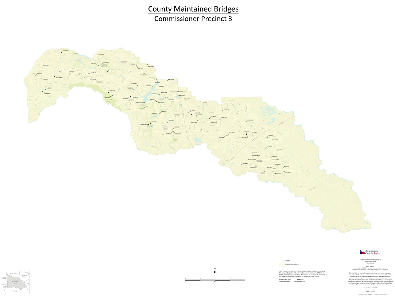
County Maintained Bridges
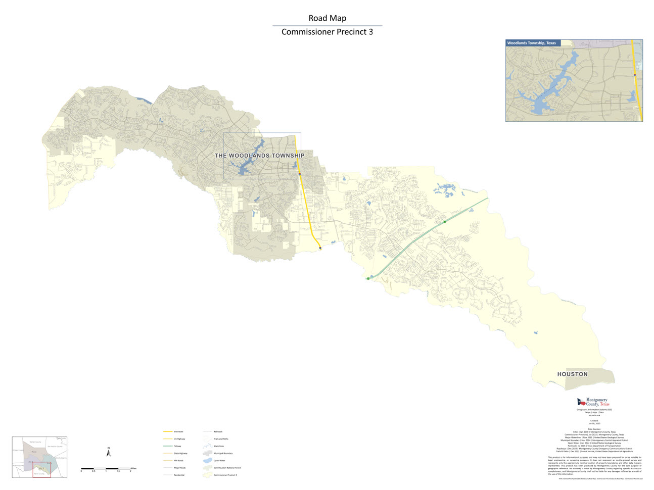
Road Map
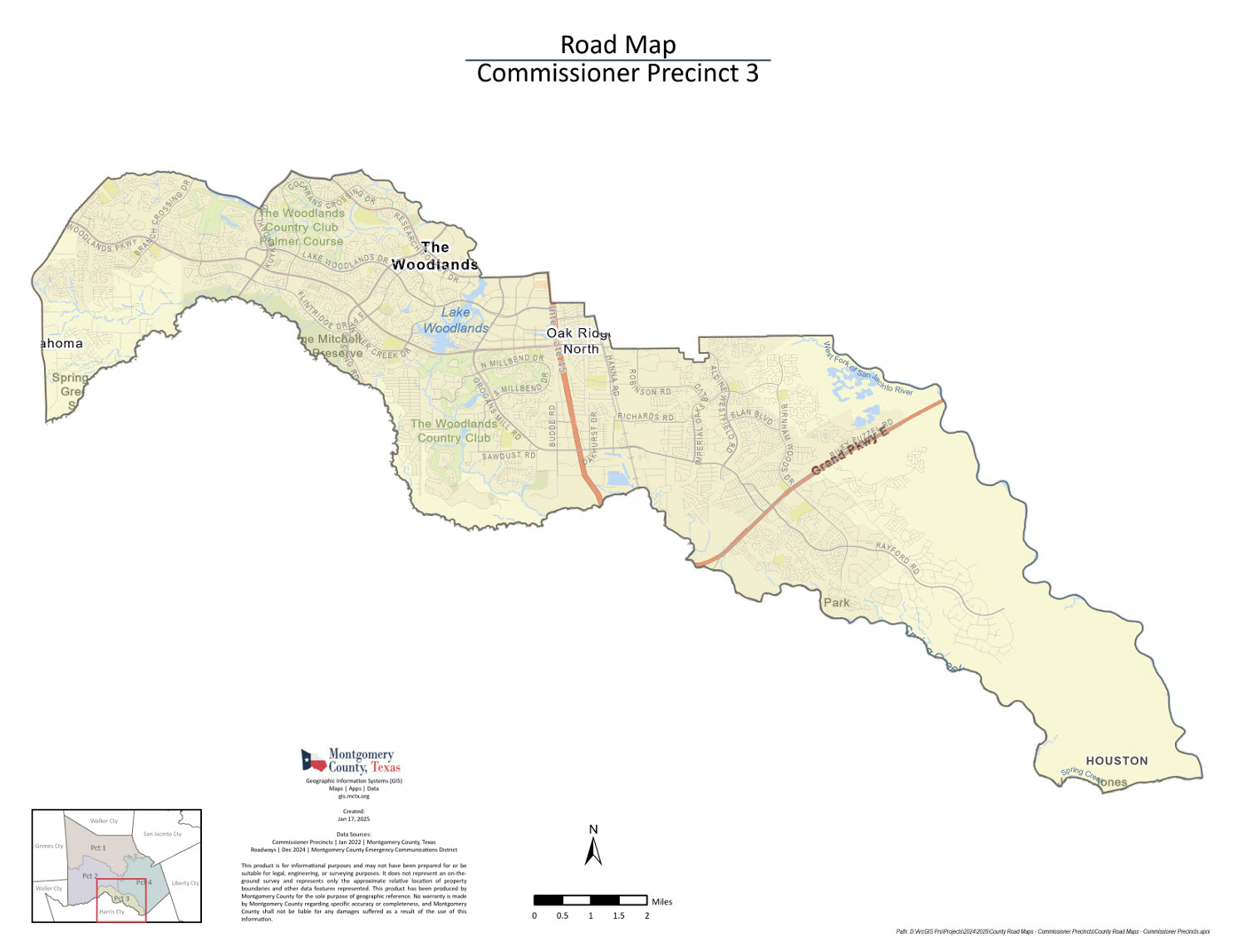
Road Map 36×48
External links
Am I in a Floodplain?
Click the map below to search for an address to find out the Flood Hazard Zone for that location. Each zone is designated by FEMA.

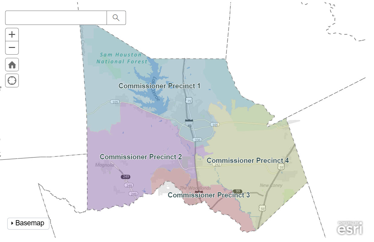
Precinct Boundary Map
Click the map below to view the geographical territory that each of the Montgomery County Commissioners serve.
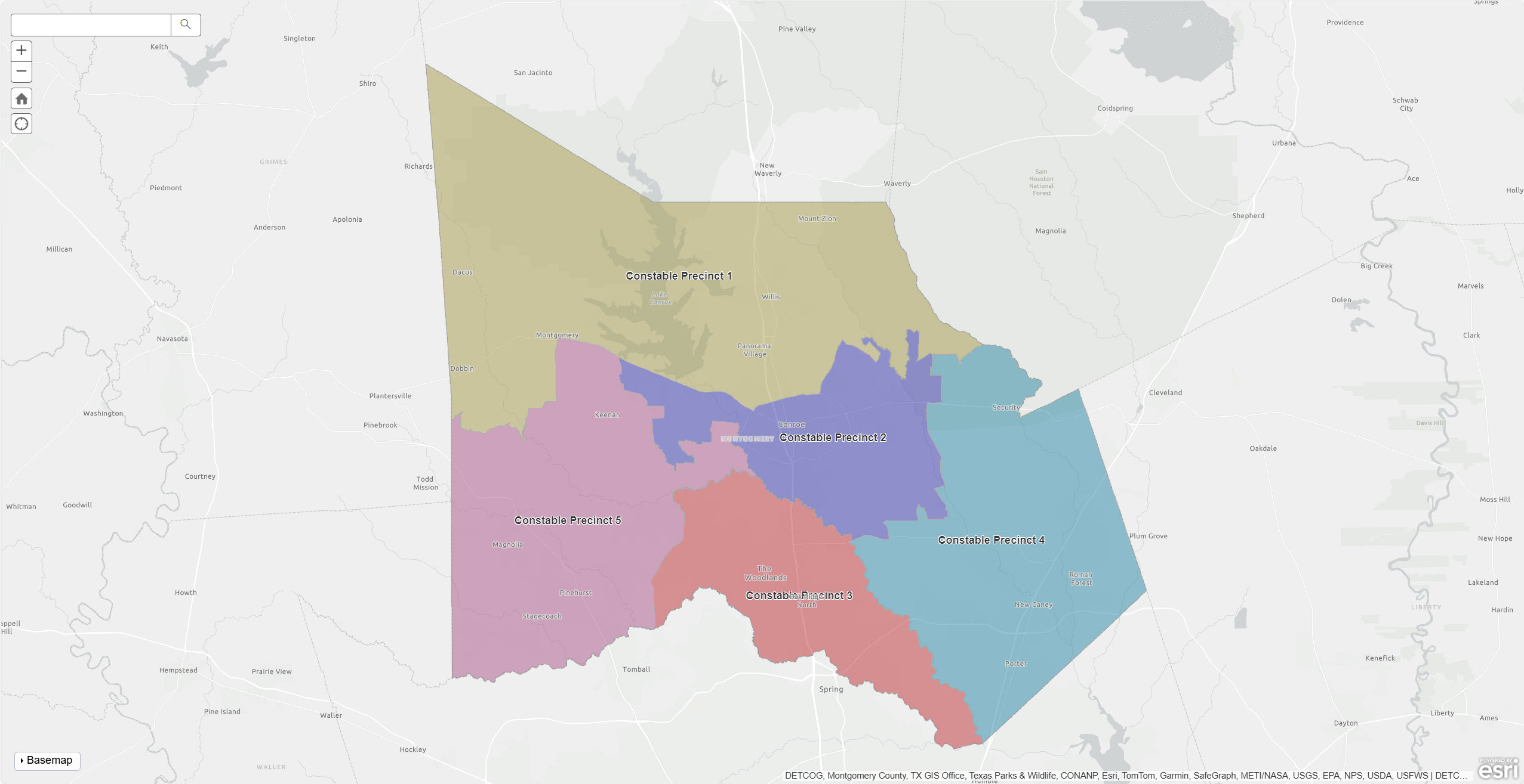
JP Constable Map
Click the map below to view the geographical territory that each of the Montgomery County Constables serve.
Texas Senate Bill 1320-GIS Disclaimer by a governmental agency
Please be aware that the data provided and/or presented by Montgomery County was not generated from an on-the-ground survey conducted by or under the supervision of a registered professional land surveyor. This product is intended for informational purposes only and may not be suitable for legal, engineering, or surveying applications. It does not constitute an on-the-ground survey and merely represents the approximate relative locations of property boundaries and other data features. Montgomery County makes no guarantee regarding the completeness of this information and shall not be held liable for any damages resulting from its use.